Newsroom
SunTec India Delivers 3M+ Annotations With 99% Accuracy for Government-Backed Highway Monitoring Program
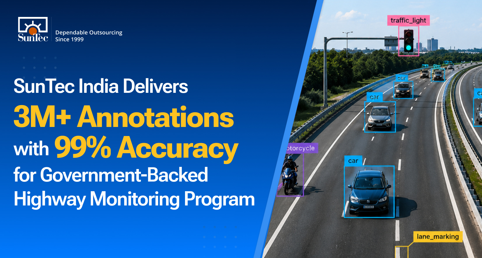
We’re proud to announce that our data annotation team has delivered over 3 million annotations with 99% sustained accuracy for a government-backed highway infrastructure monitoring program. This training dataset supports the development of an AI-based highway asset and damage detection model for India’s national and state highway networks.
This milestone reflects our growing role in global marketplaces as a leading supplier of specialized, domain-specific AI training data services, with data annotation capabilities across multiple data types, particularly geospatial and aerial imagery.
As better infrastructure monitoring solutions get built with the help of intelligent automation, those models require training data that is accurate, context-rich, and consistently validated across diverse real-world environments.
For this engagement, where our data annotation company was aligned to support a highway asset and damage detection solution, the project began with a focused pilot and later scaled to a team of 35 annotators and 7 reviewers, all with Civil Engineering backgrounds. This domain expertise helped maintain consistency while handling complex highway imagery, varied road conditions, and multiple asset categories.
The image annotation project involved a client-hosted CVAT platform, and we labeled images using bounding-box, 4-point polygon, and multi-point polygon annotations. Our team annotated 71 categories of road surface damage and assets across more than 1,000 kilometers of highway corridor, in accordance with the IRC82 government standards for highway asset detection and condition monitoring.
Not every asset in this client’s dataset had a defined shape. Guardrails and signage were geometrically predictable — a 4-point polygon captured them cleanly. But cracks, potholes, and surface rutting weren’t. Their boundaries were irregular and inconsistent, which meant our annotators had to trace the actual defect geometry point by point rather than fit it to a template.
This is where accuracy is hardest to maintain, and where most annotation teams cut corners, defaulting to bounding boxes that overstate the defect area or miss boundary details entirely. We used multi-point polygon tracing specifically for such cases (~20% of the dataset), precisely because it's the segment where imprecise geometry had the highest downstream cost.
Maintaining a 99% accuracy rate is impressive on its own, but sustaining it while scaling massively is where our team truly excelled," said Rohit Bhateja, Director of Digital Engineering Services and Head of Marketing at SunTec India. "The highway images threw every possible variable at us, from unpredictable weather and shifting light to regional anomalies and worn road surfaces. Delivering at this standard once again proves how our human-in-the-loop data labeling workflow excels on complex, large-scale datasets.
As AI adoption expands across infrastructure, transportation, public works, and geospatial intelligence, organizations need data annotation partners with subject-matter understanding, not just labeling capacity.
Our focus on domain-specific AI training data supports this need through custom annotation workflows built around technical standards, asset-level interpretation, and scalable quality control. Backed by labeling experience across image, video, text, LiDAR, and sensor-based datasets, this milestone reinforces our ability to deliver domain-aware AI training data for complex AI programs.
Read more: Image Annotation for Highway Asset and Damage Detection