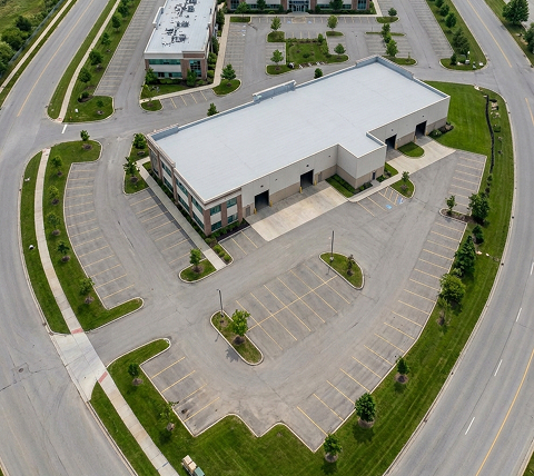
Aerial Photo Editing Services

End-to-end drone image post-processing services for real estate photographers, construction firms, studios, agencies, and other businesses. Consistent output at enterprise scale, within your desired turnaround time.

Get In Touch

Success Stories

...it's all about results

Real Estate Photo Editing

Real Estate Photo Editing

Processing over 30K+ real estate images within stringent 12-hour turnarounds.

Read More

Professional Drone Photo Editing Services

Drone-captured images present a unique set of post-processing challenges, including overexposed skies, flat colors from wide-angle sensors, uncorrected perspective distortion, distracting objects, and complex stitching requirements for panoramas. If you’re facing in-house bandwidth constraints or spending hours manually correcting the outputs of automated editing tools, our aerial image editing company can help streamline your workflow.

At SunTec India, we provide AI-assisted, human-led aerial photo editing services for real estate agencies, photographers, construction firms, marketing teams, and businesses that need consistent, professionally edited drone images at scale. Backed by skilled editors, domain expertise, and scalable production workflows, we work as your dedicated drone image post-processing service provider, handling bulk editing within your required turnaround time without the overhead costs of expanding your in-house team.

Trusted by Thousands of Photographers, Agencies, and Enterprises Worldwide

1Mn+

Drone Images Edited and Delivered

40-60%

Reduction in Post-Production Workflow

95%

Client Retention Rate

40%-60%

savings on post-production costs

Our Full-Spectrum of Aerial Photo Editing Services

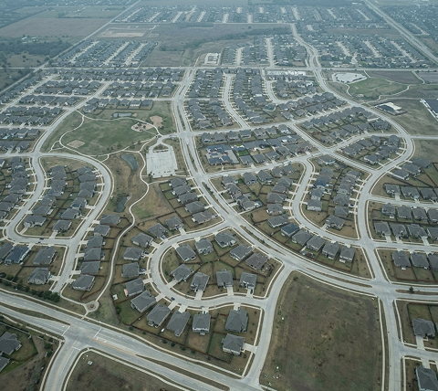
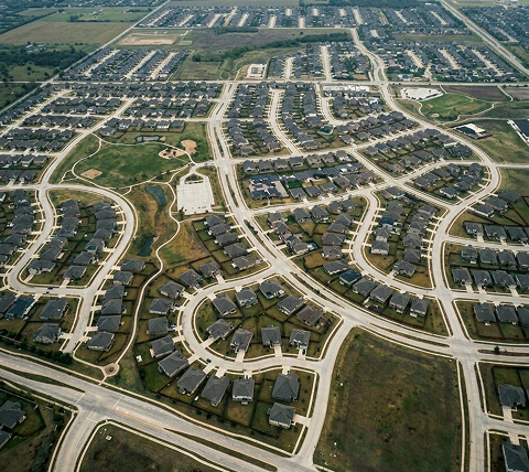
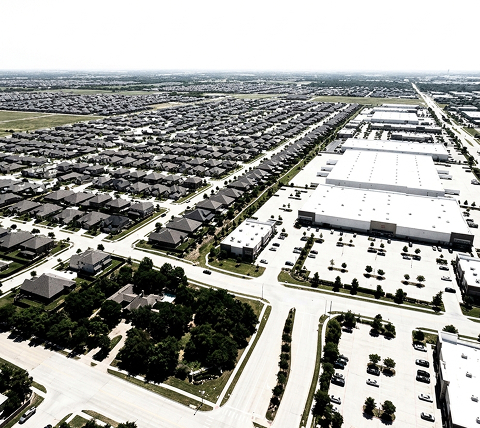
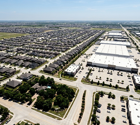
Aerial Image Retouching Before Aerial Image Retouching After

Aerial Image Retouching Services

Correct dull colors, poor lighting, haze, shadows, distortion, and other quality issues in drone-captured images with our aerial image retouching and enhancement services. We refine aerial images without over-processing the landscape, buildings, water bodies, roads, rooftops, or surrounding environment.

  • Drone image color correction, including white balance and exposure correction for natural-looking color across varying ambient light conditions
  • Tonal curve adjustments to balance highlights, midtones, and shadows
  • Color cast removal caused by haze, clouds, camera settings, or mixed lighting
  • Drone shadow removal, and contrast & clarity enhancement
  • Drone photo noise reduction and fine detail recovery for high-ISO aerial and low-light aerial images

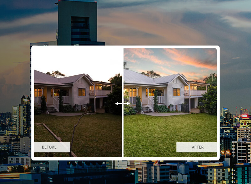
Aerial Sky Replacement and Enhancement Services

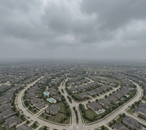
Fix drone photos captured under dull, blown-out, overcast, hazy, or inconsistent sky conditions with our aerial sky replacement and enhancement services. We replace or improve skies while matching the scene’s light direction, reflections, color temperature, and horizon line.

  • Natural blue sky replacement for real estate and commercial aerial images
  • Cloud enhancement for flat, pale, or washed-out sky areas
  • Day to dusk aerial photo editing and twilight sky replacement
  • Fixing washed-out skies where usable image detail exists
  • Sky color correction without making buildings or land look unrealistic
Aerial Sky Replacement Before Aerial Sky Replacement After
Aerial HDR Photo Editing Before Aerial HDR Photo Editing After

Aerial HDR Photo Editing Services

Balance highlights, shadows, exposure, and color depth in bracketed drone images with our aerial HDR photo editing services. We blend multiple exposures to create a clean, natural final frame without heavy tone-mapping, halos, oversaturation, or artificial contrast.

  • Manual HDR blending for bracketed aerial photos
  • Highlight recovery for skies, rooftops, roads, windows, and reflective surfaces
  • Shadow recovery for trees, corners, parking areas, land depressions, and structures
  • Exposure matching across land, sky, buildings, and background areas
  • Ghosting correction caused by moving cars, people, trees, water, or clouds

Aerial Photo Object Removal Services

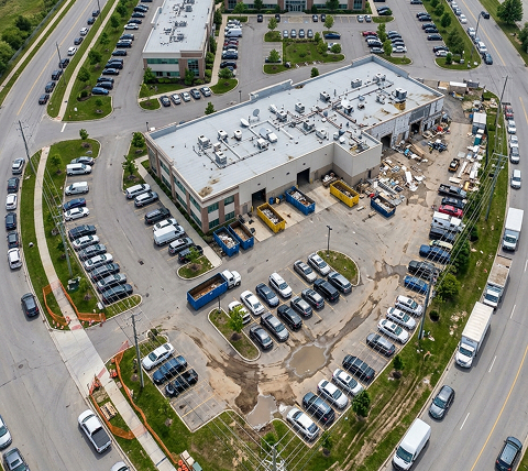
Eliminate visual distractions that reduce the commercial value or quality of drone images with our object removal services. We remove unwanted elements from aerial images using advanced cloning and inpainting techniques and rebuild surrounding areas to keep the final image clean and natural.

  • Removal of parked cars, bins, debris, signs, wires, shadows, tools, and temporary objects
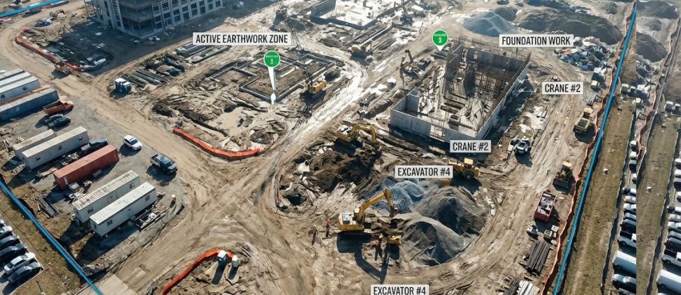
  • Construction clutter cleanup for investor, marketing, and progress images
  • Removal of people, vehicles, equipment, cones, and temporary fencing where required
  • Power line, pole, antenna, vent, satellite dish, and rooftop distraction removal
  • Cleanup of stains, patches, worn grass, puddles, and surface marks
Aerial Photo Object Removal Before Aerial Photo Object Removal After
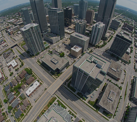
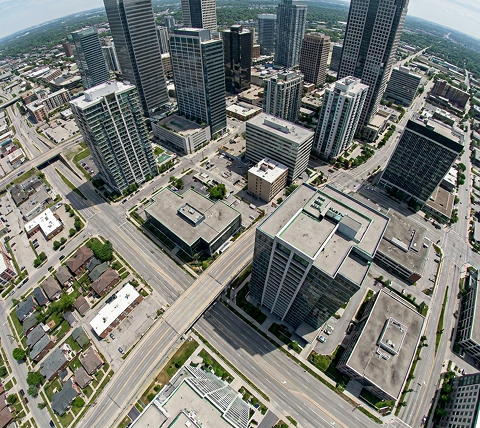
Aerial Perspective Correction Before Aerial Perspective Correction After

Aerial Perspective Correction Services

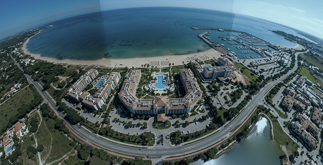
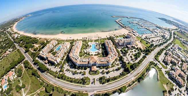
Correct wide-angle distortion, tilted framing, curved lines, leaning buildings, slanted roads, and inaccurate alignment in drone photos with our aerial perspective correction services. We fix technical inconsistencies while preserving natural scale, proportion, and composition.

  • Vertical and horizontal alignment correction for aerial, oblique, and wide-view drone photos
  • Keystone correction for buildings, towers, facades, and commercial structures
  • Wide-angle and barrel distortion correction
  • Lens profile correction and manual fine-tuning
  • Chromatic aberration removal on rooftops, edges, windows, roads, and structures

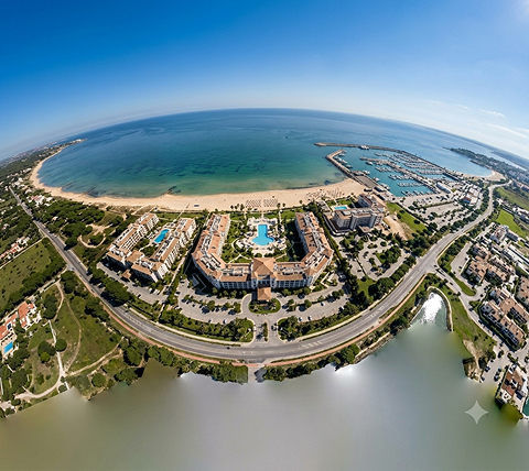
360-degree Panorama Editing & Stitching Services

Create polished visuals for virtual tours, large property views, resort presentations, construction sites, and commercial marketing using our aerial photo stitching and panorama editing services. We stitch multiple aerial frames into seamless wide-angle, panoramic, or 360-degree outputs.

  • Multi-image aerial panorama stitching with seam elimination
  • Spherical and cylindrical 360° panorama creation from drone capture sets
  • Nadir patch correction to remove the drone and operator from the bottom of the spherical view
  • Exposure and color normalization across all stitched frames
  • Horizon leveling and vertical axis correction post-stitch
360-degree Panorama Editing Before 360-degree Panorama Editing After

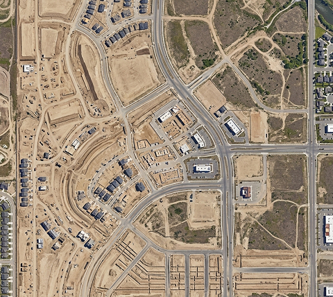
Aerial Layout Mapping and Site Rendering Services

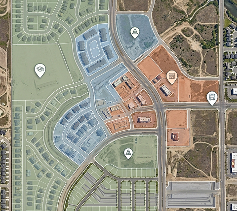
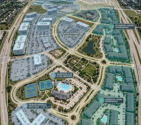
Precisely integrate high-resolution drone images with CAD data, property maps, and infrastructure overlays to create annotated, photorealistic bird's-eye visuals of real estate and development projects. We specialize in editing, stitching, and enhancing your raw drone images to produce highly accurate 2D site layouts and immersive 3D composites.

  • Boundary tracing from marked plans, survey references, or client instructions
  • Color-coded zone mapping for multi-parcel and multi-phase land development marketing
  • Road network, access route, and infrastructure annotation for investor decks, brochures, websites, and sales material
  • Aerial location marking and drop pin placement for proximity annotation of schools, transit, retail, and landmarks

Aerial Property & Site Highlighting Services

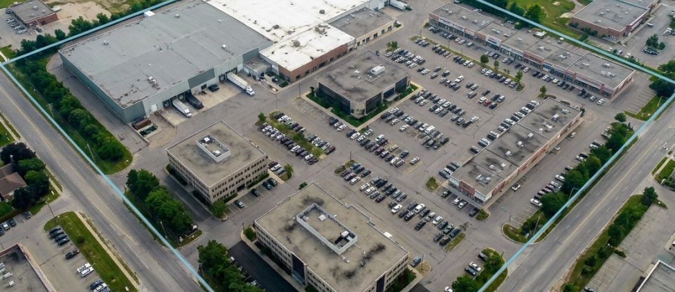
Selectively highlight individual or multiple properties, lots, and land parcels within aerial images for real estate marketing, land sales, and development documentation, using our property line overlay services. By clearly marking key property boundaries, access points, and site features, we help investors and stakeholders understand the land’s layout at a glance.

  • Single lot highlighting for residential and commercial listings
  • Multiple lot highlighting with separate colors and overlay styles
  • Property boundary marking for land, estates, farms, resorts, and development sites
  • Building, entrance, parking, garden, pool, and facility callouts
  • Custom arrows, markers, labels, and map-style annotations
360-degree Panorama Editing Before 360-degree Panorama Editing After
Aerial Virtual Staging Before Aerial Virtual Staging After

Aerial Virtual Staging Services

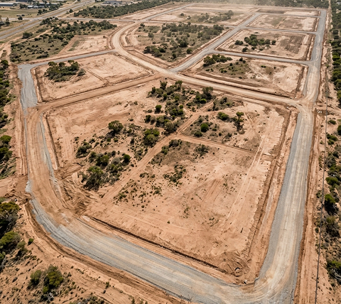
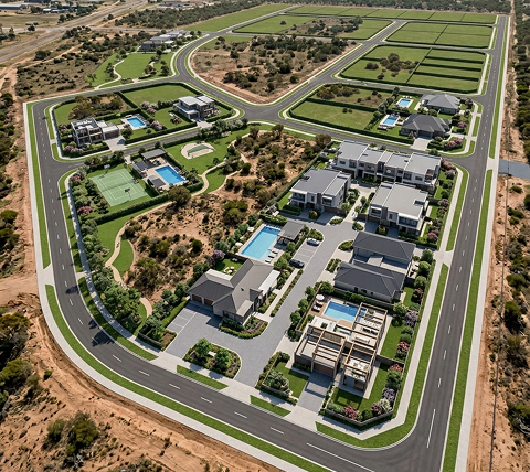
Present vacant land, outdoor spaces, resorts, developments, construction sites, and commercial properties in their future-ready form with our aerial virtual staging services. We render proposed landscaping, structures, driveways, pools, outdoor amenities, and exterior finishes into aerial images to communicate the property’s final built-out appearance.

  • Pool, deck, outdoor furniture, and amenity staging on undeveloped residential plots
  • Recreational area staging for parks, event spaces, outdoor venues, and hospitality sites
  • Shadow and color matching for realistic integration
  • Phase-by-phase visualization for large-scale, multi-unit residential developments

Worrying about Output Quality? Start with a Free Sample Edit on Your Actual Drone Images

Send us 2-3 images for a free sample edit with your detailed specifications. We’ll edit them and send back finished samples, giving you a clear idea of what to expect from our aerial photography editing service.

Request a Free Sample

Beyond Aerial Photo Editing: Outsource Drone Video Editing Services for Your Tailored Requirements

In addition to drone photo editing services, we offer aerial video editing for clients who need fully edited footage for listings, project documentation, brand films, and marketing campaigns.

Outsource Drone Video Editing Before Outsource Drone Video Editing After
  • Color grading and LUT application for drone video footage (LOG, D-Log, HLG profiles)
  • Exposure stabilization and sky replacement in video for consistent outdoor footage
  • Motion stabilization and gimbal shake correction
  • Aerial video editing for real estate walkthroughs, including trimming, sequencing, and title card integration
  • Transition design and aerial-to-ground footage blending
  • Music sync, caption overlay, and lower-third branding for listing videos
  • 4K and HD output formatting for MLS, social media, and broadcast
  • Time-lapse aerial video creation from construction photo sequences
  • Noise reduction and audio sync for drone videos with ambient sound

Our Structured 5-Step Workflow for Scalable Drone Photo Editing Services

01

Share your project details, such as intended use and editing style preferences. Our aerial photo editing specialists review your brief, ask clarifying questions if needed, and share an edited sample for review.
02

Once you approve the sample, we start onboarding by signing an NDA. We then collect all your images via our secure transfer channels, along with any shot-specific instructions, color references, or delivery requirements.

03

We evaluate each batch for editing complexity and, based on that, confirm the full scope of work, turnaround timeline, and output specifications.
04

Our aerial photo editing specialists enhance each image according to the requirements. Post-editing, every image undergoes a quality check to ensure it aligns with your expectations.

05

The finalized images are delivered to you in your preferred file format via a secure transfer channel. You can review the edited files and request revisions if any image needs refinement.

Professional Aerial Photo Editing for Industry-Focused Use Cases

Our aerial photo editing company serves a wide range of industries that rely on high-quality, professionally edited drone images for marketing, documentation, planning, and operations.

Commercial Real Estate Aerial Photo Editing

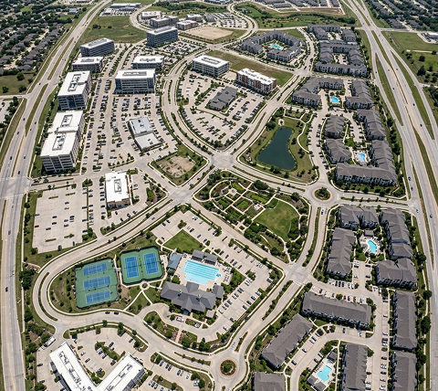
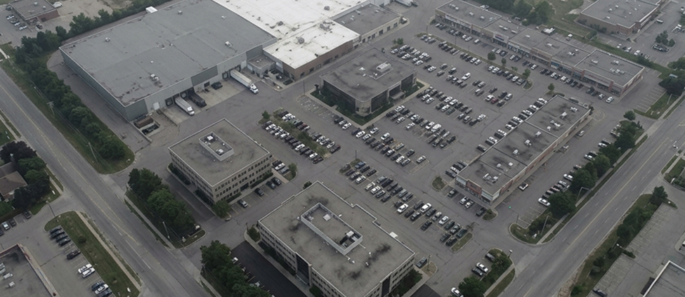
We edit drone images for office buildings, retail centers, mixed-use developments, industrial parks, warehouses, storage facilities, shopping complexes, and investment properties. Our aerial photo editing services help teams highlight access roads, parking, entrances, lot boundaries, buildings, surrounding amenities, and site scale for sales decks, listing pages, brochures, and investor presentations.

Aerial Photo Editing for Construction Projects

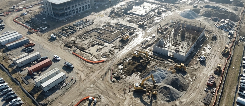
Construction teams use our aerial photography editing services for project documentation, milestone reporting, marketing campaigns, and client presentations. We edit aerial construction photos for consistent color, remove visual clutter where required, correct exposure and haze, enhance site clarity, and add relevant labels or annotations for site reports and investor updates.

Aerial Photo Editing for Hospitality

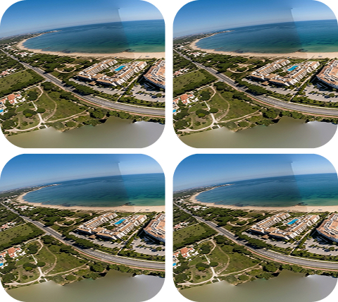
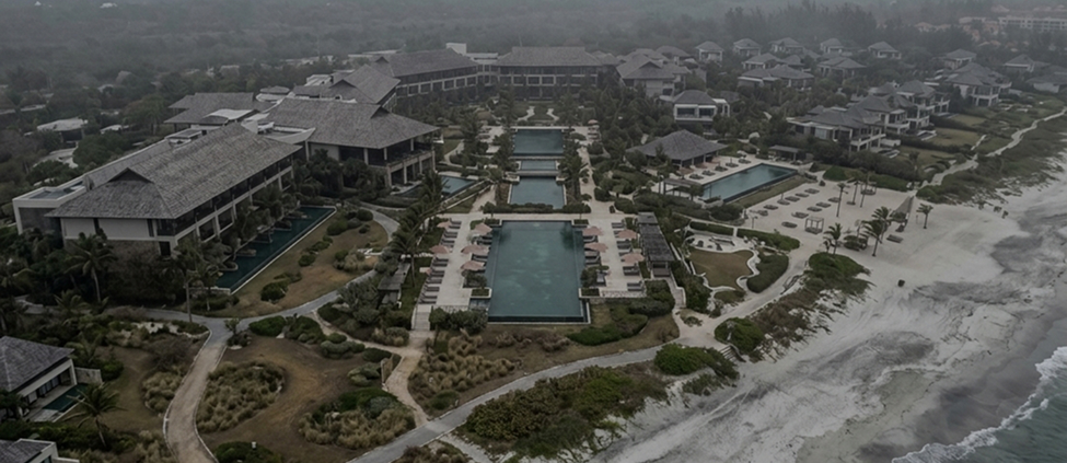
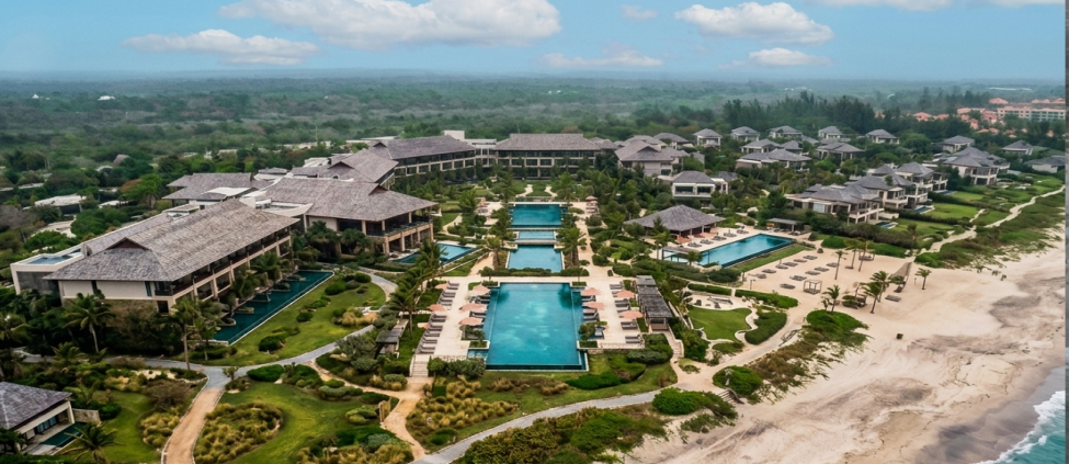
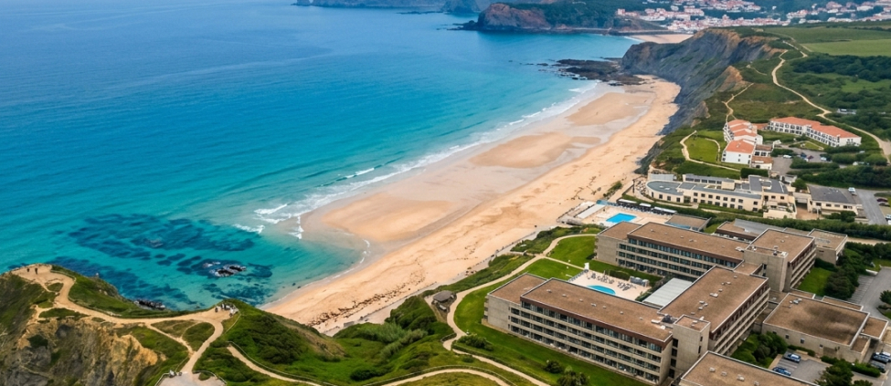
We edit drone photos for hotels, resorts, villas, golf clubs, event venues, spas, retreats, and destination properties. Our team improves skies, pools, lawns, beaches, outdoor facilities, access roads, and surrounding areas to create clean promotional visuals for websites, OTA listings, brochures, ads, and brand campaigns.

Aerial Photo Editing for Tourism

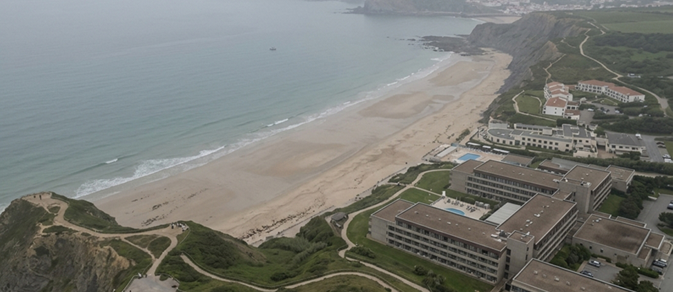
Travel agencies, experience providers, tourism boards, resort owners, etc., outsource aerial photo editing services to us for getting professionally edited aerial images of landmarks, coastlines, mountain terrain, and urban districts. We handle sky replacement for overcast destination shots, haze removal for long-distance landscape captures, and panoramic stitching for immersive 360-degree views and virtual tours.

Drone Image Editing for Surveying and Mapping

We offer aerial image retouching services to survey firms, engineering consultancies, and GIS teams that require color-corrected, geometrically accurate aerial images for mapping, orthophoto production, and site measurement. We can add labels, markers, roads, parcel highlights, site zones, and layout overlays based on supplied instructions or reference files.

Aerial Photo Editing for Agriculture

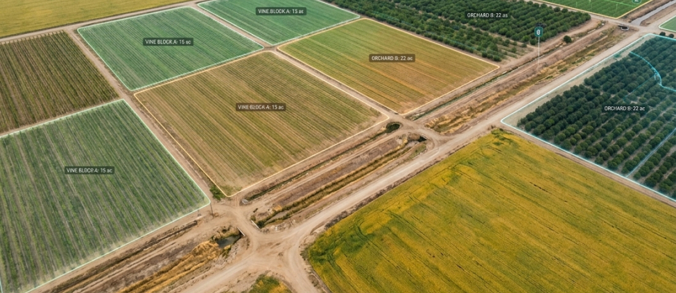
Agri-tech companies, farm operators, and land assessment consultants leverage our aerial photography editing services for crop monitoring, irrigation planning, and field health visualization. We process multispectral and standard RGB aerial images of farms, fields, plantations, vineyards, orchards, irrigation zones, and rural land parcels, enhancing visibility, color accuracy, and visual quality for reports, sales material, and operational presentations.

Aerial Image Editing for Weddings and Events

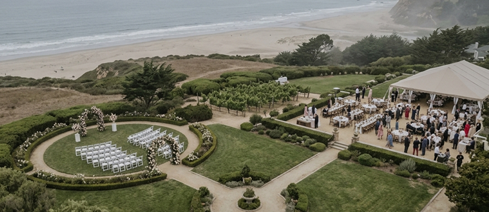
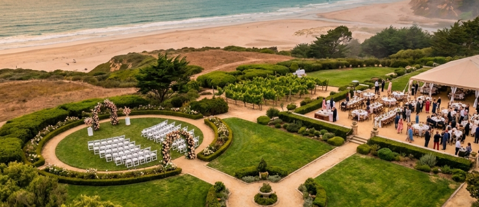
We offer white-label aerial image editing services for wedding photographers, event planners, photo studios, and agencies managing post-production for multiple clients. Our team edits drone footage of wedding venues, outdoor ceremonies, receptions, beach weddings, destination events, crowd arrangements, and surrounding landscapes, enhancing lighting, colors, skies, greenery, décor details, and overall composition to meet your specifications.

Aerial Image Editing for Architecture and Infrastructure

We offer drone photo editing services for architectural projects, campuses, public buildings, bridges, roads, utilities, solar farms, logistics hubs, and infrastructure sites. Our team corrects perspective distortion, balances exposure across wide-angle drone captures, enhances structural detail, and removes site clutter to provide presentation-ready documents.

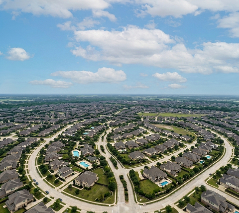
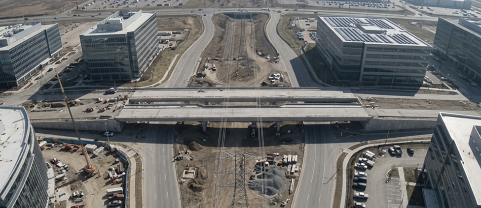
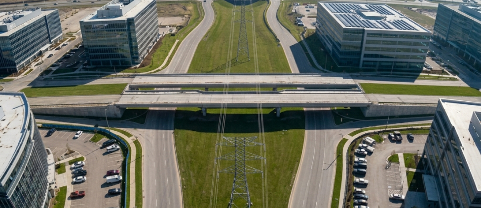
Commercial Real Estate Aerial Photo Editing Commercial Real Estate Aerial Photo Editing

Commercial Real Estate Aerial Photo Editing

We edit drone images for office buildings, retail centers, mixed-use developments, industrial parks, warehouses, storage facilities, shopping complexes, and investment properties. Our aerial photo editing services help teams highlight access roads, parking, entrances, lot boundaries, buildings, surrounding amenities, and site scale for sales decks, listing pages, brochures, and investor presentations.

Aerial Photo Editing for Construction Projects Before Aerial Photo Editing for Construction Projects After

Aerial Photo Editing for Construction Projects

Construction teams use our aerial photography editing services for project documentation, milestone reporting, marketing campaigns, and client presentations. We edit aerial construction photos for consistent color, remove visual clutter where required, correct exposure and haze, enhance site clarity, and add relevant labels or annotations for site reports and investor updates.

Aerial Photo Editing for Hospitality Before Aerial Photo Editing for Hospitality After

Aerial Photo Editing for Hospitality

We edit drone photos for hotels, resorts, villas, golf clubs, event venues, spas, retreats, and destination properties. Our team improves skies, pools, lawns, beaches, outdoor facilities, access roads, and surrounding areas to create clean promotional visuals for websites, OTA listings, brochures, ads, and brand campaigns.

Aerial Photo Editing for Tourism Before Aerial Photo Editing for Tourism After

Aerial Photo Editing for Tourism

Travel agencies, experience providers, tourism boards, resort owners, etc., outsource aerial photo editing services to us for getting professionally edited aerial images of landmarks, coastlines, mountain terrain, and urban districts. We handle sky replacement for overcast destination shots, haze removal for long-distance landscape captures, and panoramic stitching for immersive 360-degree views and virtual tours.

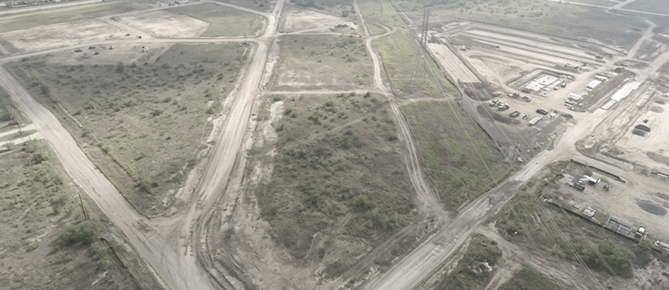
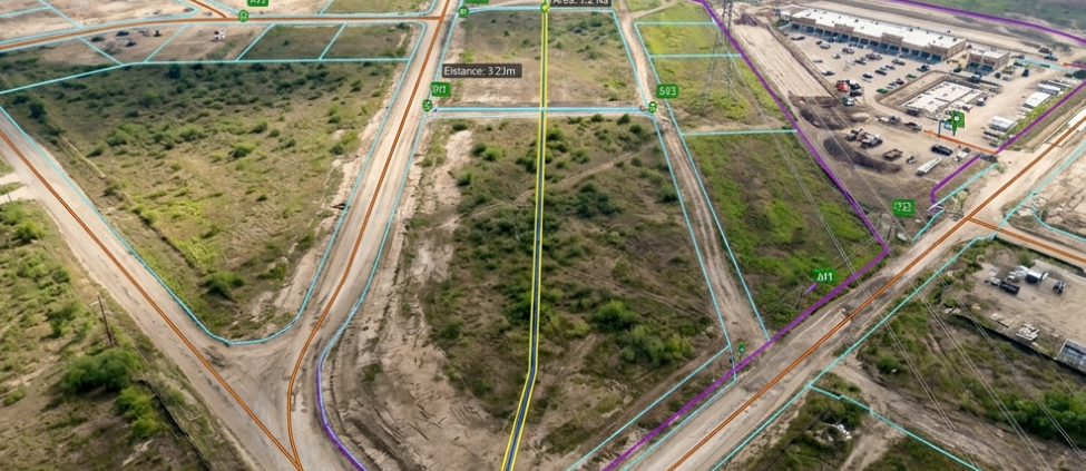
Drone Image Editing for Surveying and Mapping Before Drone Image Editing for Surveying and Mapping After

Drone Image Editing for Surveying and Mapping

We offer aerial image retouching services to survey firms, engineering consultancies, and GIS teams that require color-corrected, geometrically accurate aerial images for mapping, orthophoto production, and site measurement. We can add labels, markers, roads, parcel highlights, site zones, and layout overlays based on supplied instructions or reference files.

Aerial Photo Editing for Agriculture Before Aerial Photo Editing for Agriculture After

Aerial Photo Editing for Agriculture

Agri-tech companies, farm operators, and land assessment consultants leverage our aerial photography editing services for crop monitoring, irrigation planning, and field health visualization. We process multispectral and standard RGB aerial images of farms, fields, plantations, vineyards, orchards, irrigation zones, and rural land parcels, enhancing visibility, color accuracy, and visual quality for reports, sales material, and operational presentations.

Aerial Image Editing for Weddings and Events Before Aerial Image Editing for Weddings and Events After

Aerial Image Editing for Weddings and Events

We offer white-label aerial image editing services for wedding photographers, event planners, photo studios, and agencies managing post-production for multiple clients. Our team edits drone footage of wedding venues, outdoor ceremonies, receptions, beach weddings, destination events, crowd arrangements, and surrounding landscapes, enhancing lighting, colors, skies, greenery, décor details, and overall composition to meet your specifications.

Aerial Image Editing for Architecture and Infrastructure Aerial Image Editing for Architecture and Infrastructure

Aerial Image Editing for Architecture and Infrastructure

We offer drone photo editing services for architectural projects, campuses, public buildings, bridges, roads, utilities, solar farms, logistics hubs, and infrastructure sites. Our team corrects perspective distortion, balances exposure across wide-angle drone captures, enhances structural detail, and removes site clutter to provide presentation-ready documents.

What Makes SunTec India the Trusted Aerial Photo Editing Company for Businesses?

Backed by over two decades of industry experience and a skilled team of image editors, SunTec India has built a reputation as a reliable provider of aerial photo editing services worldwide. From startups to Fortune 500 enterprises, thousands of clients trust us to deliver consistent quality, fast turnarounds, and pixel-perfect results.

01

ISO 27001-Certified for Data Security

Strict NDAs, secure data handling, role-based access control, and encrypted file transfers to safeguard your sensitive files, business data, and clients’ assets.

02

AI-Assisted, Human-Led Workflows

We don't solely rely on AI-powered tools for complex aerial image editing. Our subject matter experts leverage manual retouching and QC reviews to fix the shortcomings of automated tools and deliver professionally edited visuals at scale.

03

Timezone-Aligned
Teams

Dedicated aerial photo editing teams available during your preferred business hours to support quick turnarounds, faster feedback cycles, real-time revision handling, and seamless delivery approvals across ongoing or time-sensitive projects.

04

Dedicated Project
Manager

A single point of contact to manage project instructions, timelines, revision tracking, delivery schedules, and communication between your team and our aerial photo editing specialists.

05

100% Asset
Ownership

You retain complete ownership of all original drone images, edited files, layered PSDs, marked-up visuals, and final approved outputs. We do not reuse, resell, publish, or claim rights over your assets.

06

Scalable Engagement
Models

Whether you need hourly assistance, recurring drone image editing services, white-label solutions, bulk image processing, or dedicated editing teams, we offer flexible engagement models to meet your tailored requirements.

Ready to Streamline Your Aerial Photo Editing Without Compromising Quality?

Don’t let post-processing workflows slow down your projects or your clients’ operations. Outsource drone photo editing to dedicated teams that specialize in bulk processing and complex image retouching. Send us your batch requirements, preferred turnaround time, and style references, and we will deliver edited images within your desired timeline.

Request a Free Quote

Aerial Photo Editing Services: FAQs

We accept a wide range of formats for drone image editing services, including DJI (DNG, .DJI RAW), Autel, Parrot, Skydio, TIFF, JPEG, HEIF, and PSD. The edited files can be delivered to you as JPEG, TIFF (16-bit or 8-bit), PNG, PSD, or any other format of your choice.

The turnaround time for drone image post-processing services depends on your project’s volume, complexity, and other factors involved. However, for time-sensitive projects, we offer a standard turnaround of 24-48 hrs for every edited batch. Turnaround time is confirmed during scoping and tracked by your project manager throughout delivery.

Yes. We offer aerial photography editing services for agriculture, surveying and mapping, construction documentation, hospitality marketing, tourism, events, and government infrastructure projects. Each workflow is tailored to the industry's specific editing and output requirements.

Yes. We align our aerial photography editing services to client-provided reference images, brand color profiles, Lightroom presets, or agency-specific style guides. Style briefs are documented and assigned to a dedicated editor to ensure consistency across all batches.

Yes. Our aerial layout mapping service combines drone images with CAD-based site plans, parcel maps, and development proposals at the correct scale. We work with standard CAD export formats and align all overlays to the aerial frame geometry before compositing.

Outsourcing aerial photo editing services is often better than relying solely on automated tools because complex drone imagery requires human judgment, not just preset-based processing. Automated software applies uniform presets, often missing nuances such as lens distortion correction in oblique shots, accurate sky replacements that match the scene lighting, or selective object removal without artifacts. Our specialized editing teams combine AI-assisted workflows with manual retouching to maintain precision across complex edits. Outsourcing also gives businesses access to trained editors, quality control reviews, faster turnaround, scalable capacity, and secure file handling without adding software costs or internal production workload.